Like most of the Highlands there are many faint and invisible traces of history scattered in and around the Shieldaig area.
While more extensive documentation of Badachro, Gairloch and the bigger Shieldaig is readily available, very little is known about the landscape and previous inhabitants of Shieldaig, Badachro.
Shieldaig (Scottish Gaelic: Sìldeag; Old Norse: síld–vík, lit. ‘herring bay‘), is easily confused with Shieldaig village south of Badachro.
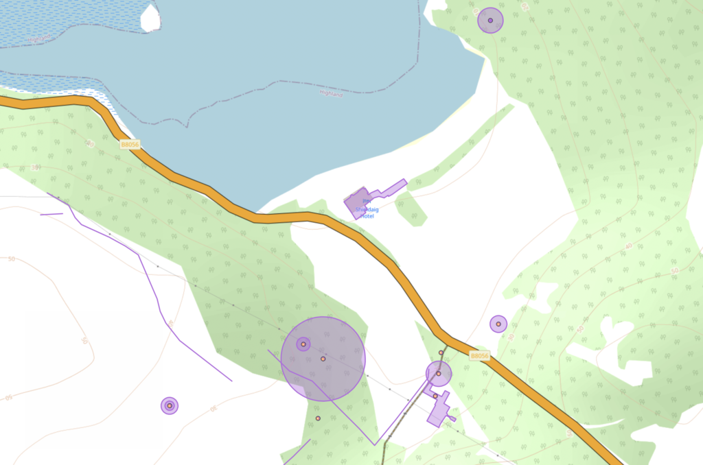
Roughly consisting of three clusters of buildings and surrounding farmland, perviously made up the sparse and former township known as Shieldaig.
It is suggested an inn previously stood where the Sheidaig Lodge exists (across from the farm steading) and created a centre for this township. The Inn also provided boat hire for travellers who wished to go south towards Loch Torridon and later the Shieldaig village founded in 1800.
Another point of interest, is Allt a’ Mhuilinn (meaning ‘the mill stream’), which name suggests an old water mill may have existed to provide food where the remains of an old stone dyke runs down the west bank of the stream near the Lodge.
The mill was probably positioned at the mouth into Loch Shieldaig, where the stream now splits and has been blocked with stone on one side.
There are other notable remnants of the township including a track where traces of earth and stone follow a route out to Badachro.
The route would have been important for the people of Shieldaig who may have also been working out in Badachro where cod were regularly landed and cured at Eilean Tioram and Eilean Horrisdale.
The route is most visible from an arial view where one can see an eroded path that follows the south ridge down to the steading. According to the HSMR site is likely to be the “continuation of the ‘Sean Rathad’ or old road connecting South Erradale and Badachro, in use in 1755 and presumably until the construction of the new coastal road in c1848 during the potato famine.”
Interestingly this would have been around a similar time the township would have been cleared to make way for improved farmland and the Gairloch Estate around 1847.
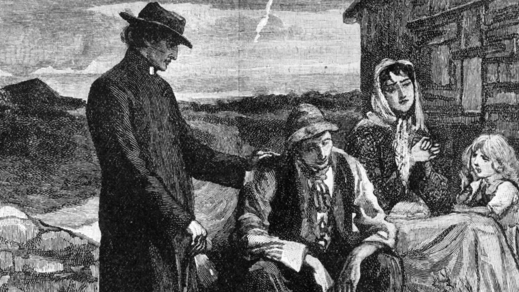
Although predominantly a fishing community the area would have been greatly affected by the famine and the Highland clearances.
With many struggling to feed their family and have the strength to catch fish local communities were forced to put forward their services to build roads known as ‘destitution roads’ in repayment for oat meal rations.
In a broader context, Highlanders were often left in a state of desperation and forced out by state officials and the wealthy landowners at the time.
Many families left for the new world and many thousands died at sea making this voyage. It’s noted a third of the Scottish population disappeared between (1841 and 1861) leaving faint traces of their history behind.
There are other surviving remnants of the Township as well as archeological areas of interest including circular huts near the Shieldaig Steading. These can be found on HSMR’s interactive map – https://hbsmr-web.esdm.co.uk/